



Esri India has launched GeoSARAL, a locally developed, Linux-based desktop GIS aimed at users who need mapping, visualization, querying and editing rather than heavy-duty spatial analysis. The move caps years of investment in technology, talent and innovation with localization at the core, as the company looks to meet the needs of India’s fast-growing geospatial market.
Why GeoSARAL exists alongside ArcGIS Pro
In most organizations, power users rely on ArcGIS Pro for advanced workflows, 3D modeling, network analysis, complex cartography and high-end analytics.
But plenty of staff only need a lighter desktop GIS for routine tasks: making maps, checking layers, editing features and running basic queries.
GeoSARAL is built for that second group. It was conceptualized after Esri India’s large ArcGIS user base spanning government departments and enterprise customers asked for a cost-effective, Linux-capable desktop option. While Linux is the primary target, the software also runs on Windows, with Android support expected later.
How it fits into existing ArcGIS setups
GeoSARAL is designed to slot into current ArcGIS environments rather than replace them. Users can work offline with locally stored GIS data and basemaps, or log in to ArcGIS Online or ArcGIS Enterprise from within the application.
It can also tap into content from the Indo ArcGIS Living Atlas, giving teams access to curated layers and maps while maintaining enterprise-grade security.
That flexibility matters for agencies that want to extend GIS access beyond specialist teams without overhauling their entire stack.
Localization and self-reliance angle
As geospatial technology becomes central to governance, infrastructure planning, agriculture, defence, utilities, urban development, natural-resource management and disaster response, local development is seen as key to addressing India-specific requirements.
GeoSARAL, developed largely in India on top of an SDK, is positioned as a step toward greater technological self-reliance and data sovereignty.
Leadership Comment
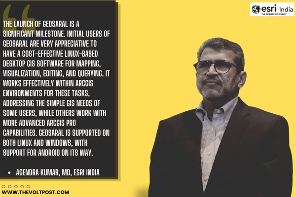
 Agendra Kumar, Managing Director, Esri India, said, “Innovation with customer needs in mind has been at the heart of our technology journey. The launch of GeoSARAL is a significant milestone. Initial users of GeoSARAL are very appreciative to have a cost-effective Linux-based desktop GIS software for mapping, visualization, editing, and querying. It works effectively within ArcGIS environments for these tasks, addressing the simple GIS needs of some users, while others work with more advanced ArcGIS Pro capabilities. GeoSARAL is supported on both Linux and Windows, with support for Android on its way.”
To Know More: CLICK HERE